With the flow of images over the Internet, an interesting question arises: can a particular image be geolocated? Yes, and this allows us to take advantage of advanced tools and artificial intelligence techniques, this article provides a look at the methods and resources available to geolocate images, highlighting the location of Geospy.web.app. Logically, EXIF data for any image can be accessed using services such as Google Photos, where this information can be read. But in the case of images without EXIF data, AI sources are essential.
Detect where photos are taken through Geospy.web.app
Optical recognition is used in the first approach, where it analyzes the image and compares it with a database to determine its location. For example, if the image shows the Eiffel Tower, the system will recognize it and link it to Paris, France.
Geolocation of the image plays a crucial role in OSINT by providing valuable details about the location where the picture was taken. Here's an overview of the importance of geolocating an image:
- Verification and Authentication: Geolocating the image helps verify the authenticity of the content.
- Attribution and Identification: It assists in attributing content to specific locations, entities, or events.
- Event Analysis: Allows analysts to map the sequence of events, track people's movements, and gain a better understanding of the surrounding context.
- Tracking and Monitoring: Geolocating images is useful for tracking the movement of individuals or objects over time.
- Geospatial Intelligence (GEOINT): Integrating geolocation data in OSINT contributes to geospatial intelligence.
- Social Media Analysis: Geolocating shared images on social media platforms can provide insights into the users' locations, events, or activities.
Platforms like Geospy.web.app enable users to upload images and receive information about their geographical location using visual recognition and descriptive data analysis techniques. It's essential to always verify the accuracy of the information provided by such platforms.🪚
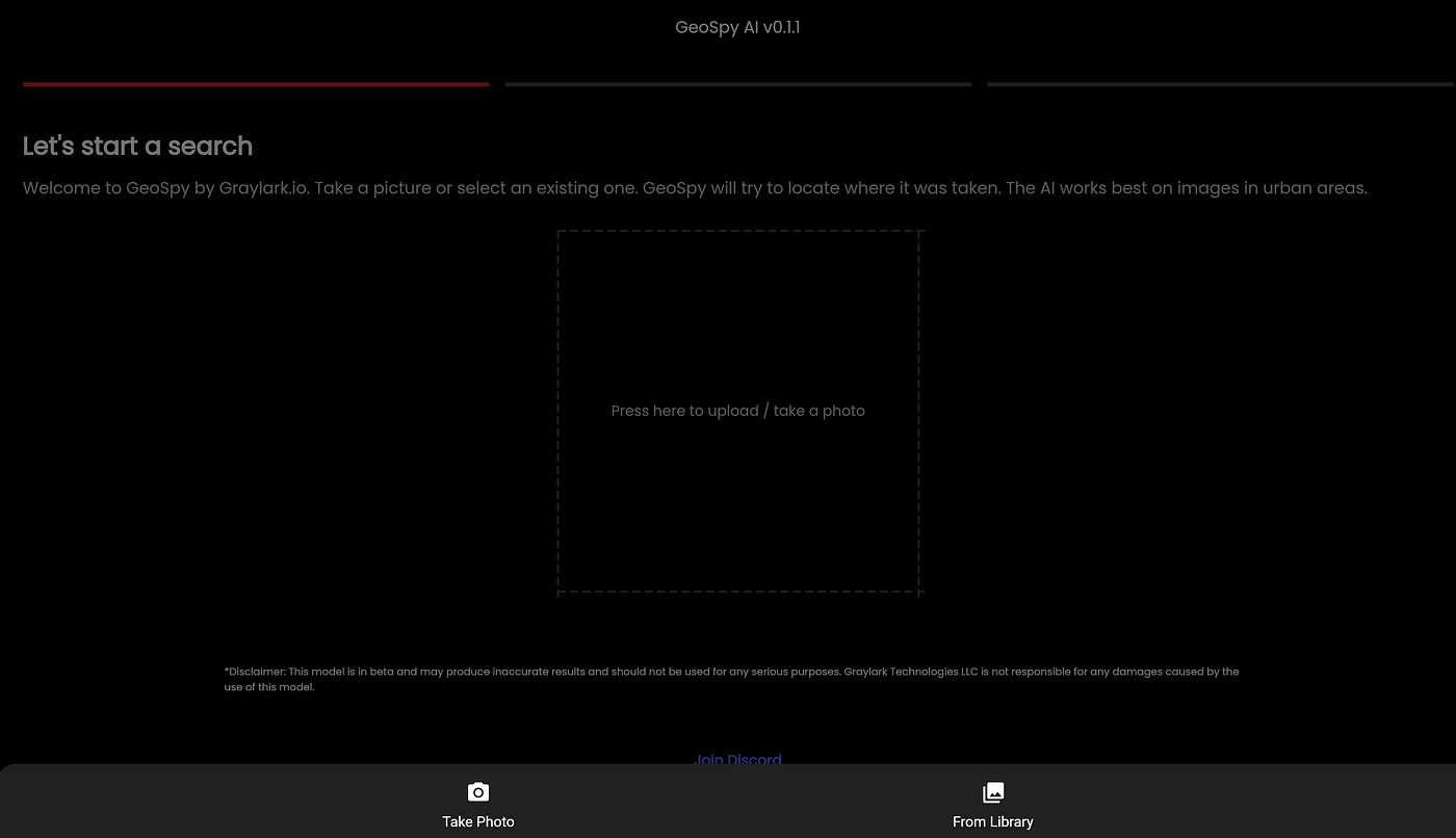
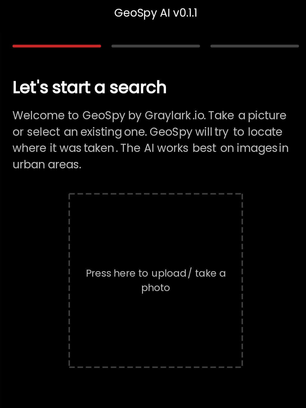
To use Geospy.web.app open the tool link and upload any photos or take the photo with your device's camera to discover the geographical location of your photos. Geospy works best for urban photo.

Example... Let's try to locate this image using GeoSpy:
You can also view the results; however, you should display the precise location on Google Maps or save the results for further investigation. Image investigation typically starts by collecting image data from social media.Geolocating images is a powerful tool within the OSINT toolkit, providing valuable context and verification capabilities that contribute to a more comprehensive understanding of events, individuals, and activities in a specific geographical context.
Geolocating images poses a complex challenge that combines advanced technologies with human analysis. Tools like Geospy represent significant progress in this field, offering an easy way for users to explore and determine the geographical location of images and boards.

.jpeg)


